GIS students at Bigfork Public Schools have completed dozens of projects working in partnership with local land managing agencies and organizations. For some projects students collected and analyzed data they collected. For others students entered and analyzed many years of data accumulated by the partner. At completion students provide the partner with GIS layers, a poster, and a formal presentation or report. Here are a few project summaries that highlight student work.

Jewel Basin is managed by the Hungry Horse and Swan Lake Districts of the Flathead National Forest. Staff at both districts worked with students to help set up the project and conduct field work.
|
Jewel Basin Hiking Area
|
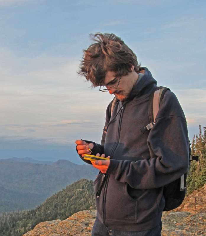
Bigfork High School student recording data on a dispersed recreation site atop Mt. Aneas in the Jewel Basin Hiking Area.
|

To prevent additional hazzards to wildlife and motorists, MDT relocates road killed animals to approved disposal sites. When a road killed animal is removed MDT records the sex, species and location to the nearest tenth of a mile.
|
Montana Highway 83
|
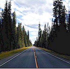
Montana Highway 83 stretches 91 miles through forested valleys, aside lake shores and past three small communities. Deer and wildlife are common along the entire route.
|

The Flathead Waterfowl Protection Area, which is on the north shore of Flathead Lake, is managed by the US Fish and Wildlife Office. The managing office for the FWPA is at the Lost Trail Wildlife Refuge near Marion, MT.
|
Flathead Waterfowl Protection Area Vegetation Mapping
Students created a vegetation community map for parts of the Flathead Waterfowl Protection Area by comparing field mapping results to true color and infrared imagery. Students also are mapping the distribution of invasive weeds. The USFWS uses student vegetation maps for visitor interpretation and baseline data for wildlife enhancement projects. Click on the link below to view a student created poster derived from the project.
|
Bigfork High School GIS students mapping bulrush density on the FWPA.
|

Gael Bissel, wildlife biologist at the Kalispell Office of Montana FWP, initiated a study to determine habitat requirements for waterfowl that migrate through the area. The study involves surveying 50 randomly selected transects, once a week during seasonal waterfowl migrations.
|
Flathead and Smith Valleys
|

Flathead and Smith Valleys are important migratory stopovers for mnany species of waterfowl including Canada Geese, Snow Geese, Goldeneyes, Pintails, and Mallards.
|

Northwest Connections is a not for profit organization dedicated to integrating science, education, and community into conservation of rural working landscapes. Their field office is in the Swan Valley near Condon, Montana.
|
Swan Valley, Montana
|

Bigfork GIS students accompany Northwest Connection staff on winter tracking studies to better understand how the data is collected.
|


Bigfork Middle School and High School students are involved numerous community mapping projects that aren't conducted with a partnering agency. These projects help the students gain GIS skills and often provide information that can benefit the community. Other community mapping projects include mapping tree species and age, assessing fire safety, mapping sign density, mapping in-town bird sightings, and mapping employment density.
|
Bathymetric Mapping
|
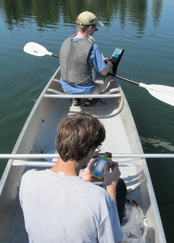
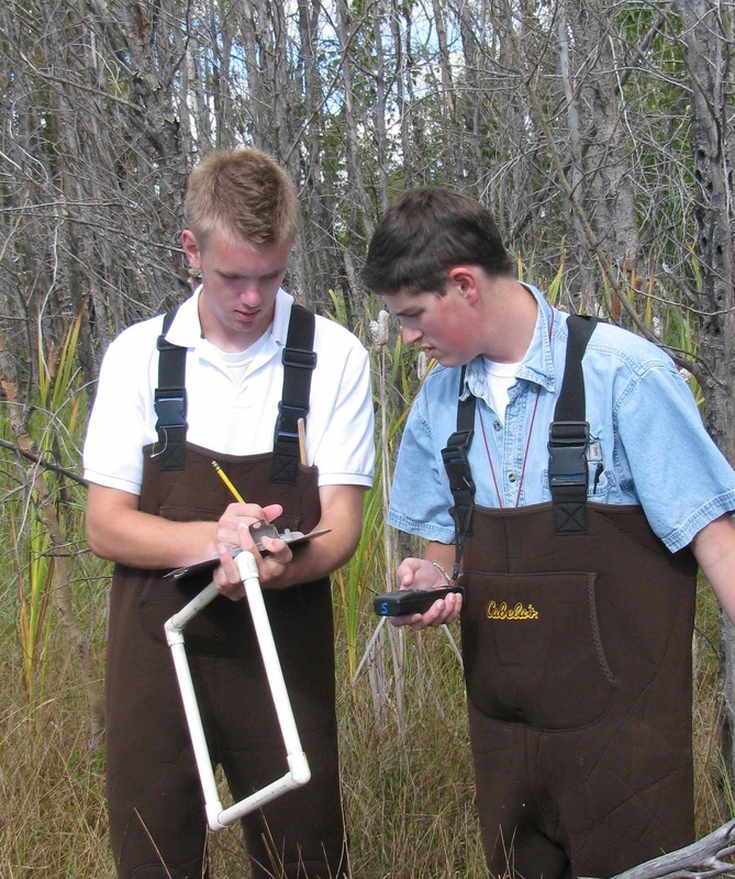
Students using Fishing Buddy sonar depth finder to measure depth and a Trimble Juno to record the measurement location.
|
