Web Map Gallery
Click on an image below to explore a student created map using ArcGIS Online. You can change base maps, zoom in or out, turn layers on or off, and view data at points or polygons by clicking on a feature.
|
|
|

|
|
|

|
|
|

Additional Student Created Web Maps
(Click on button to view web map)
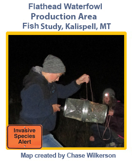
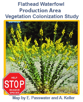
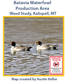
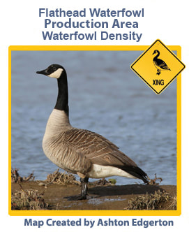
Weeds and Willows - In the Flathead Waterfowl Production Area students conducted studied the survival and growth of willows cuttings planted to stabilize a man-made beach. They also studied the density and distribution of 2 invasive weed species.
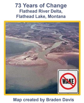
Then and Now – Students georeferenced 1937 air photos to 2010 imagery and compared changes at several areas on the north shore of Flathead Lake.
Volunteer Saplings and Cottonwood Cores - Montana Fish Wildlife and Parks (FWP) is experimenting with various treatments in and near grazing exclosures in the Foys Bend Wildlife Management Area southeast of Kalispell, Montana. Treatments are designed to encourage growth of trees. During the 2013-2014 school year the students helped FWP with several mapping and analysis projects.
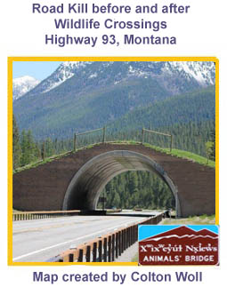
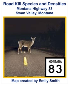
Road Kill Projects - Montana Department of Transportation workers record species, sex, date, and location when road killed animals are removed from highwaron Lunays. BHS GIS students analyze this data to create species density and point maps. MDT uses student maps to plan for wildlife corridors and safe crossings.
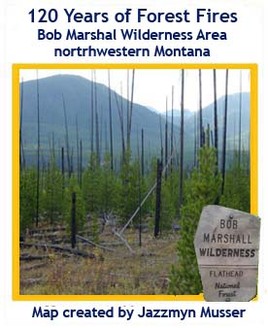
Burnin' the Bob - 110 years of forest fire history data for the Bob Marshal Wilderness Area was provided by the US Forest Service. Data is presented in 2 maps. The first map, "Fire Decades", shows forest fires by decade from 1889 to 2010. The second, "All Fires", shows all areas that have been burnt by forest fires.
Middle School GIS Projects– Nearly all Bigfork Middle School students take “Introduction to GIS”, which lasts one trimester. During the class students are involved in numerous practice exercises , several small projects, and one larger project. Here are a few examples of middle school GIS projects from past years.

Lesson Plans for Teachers
Here are three lessons for teachers interested in using GIS at their school:

Many thanks to our sponsors!
GIS at Bigfork Public Schools would not be a viable education program without the contributions and support of our sponsors.


|


|


|